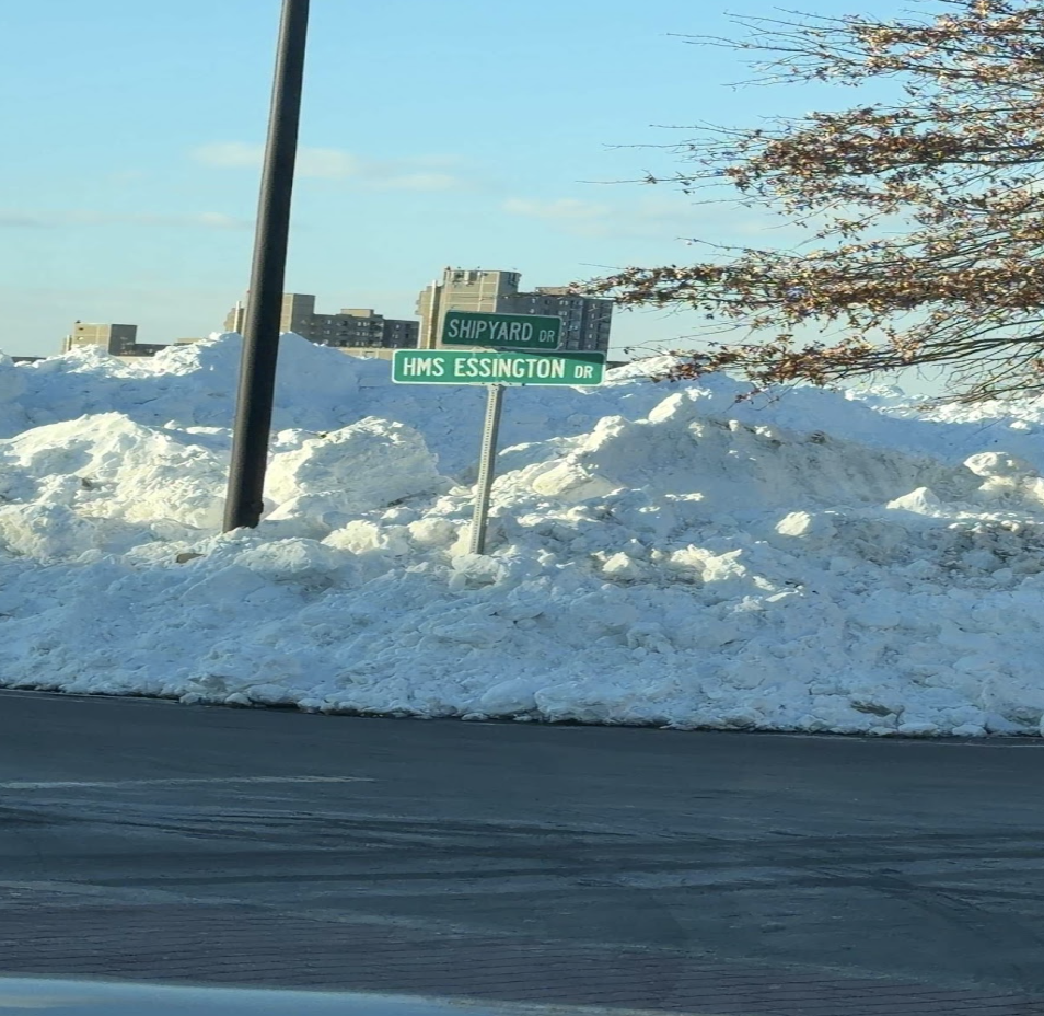
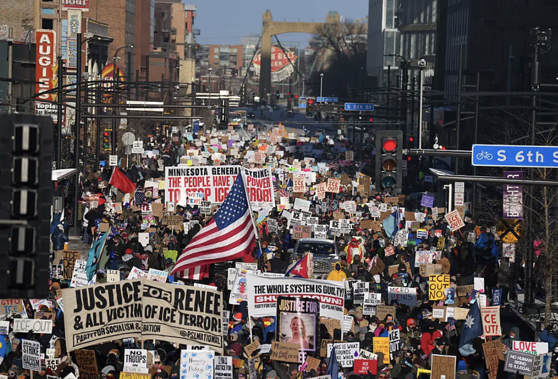


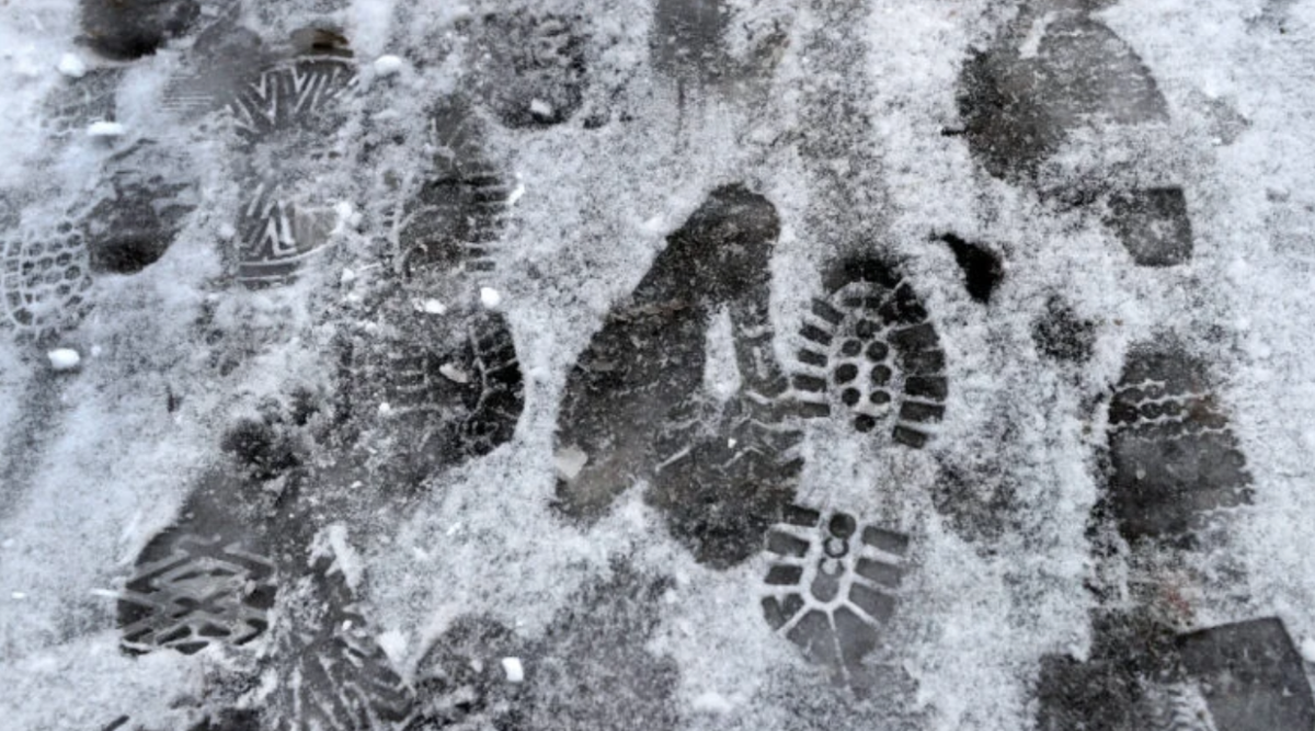
This past week, we received our first taste of snow. There is no doubt in saying that the past few winters in Boston have been lackluster, leaving many snow lovers disappointed. Junior Elizabeth Murray reminisces, “I definitely missed the snow last year. It did not feel like it was truly winter without it.” Luckily, thanks to data from the 2025-2026 Winter Outlook published by the Climate Prediction Center (CPC), this winter season seems like it might be making the comeback for which many have been hoping.
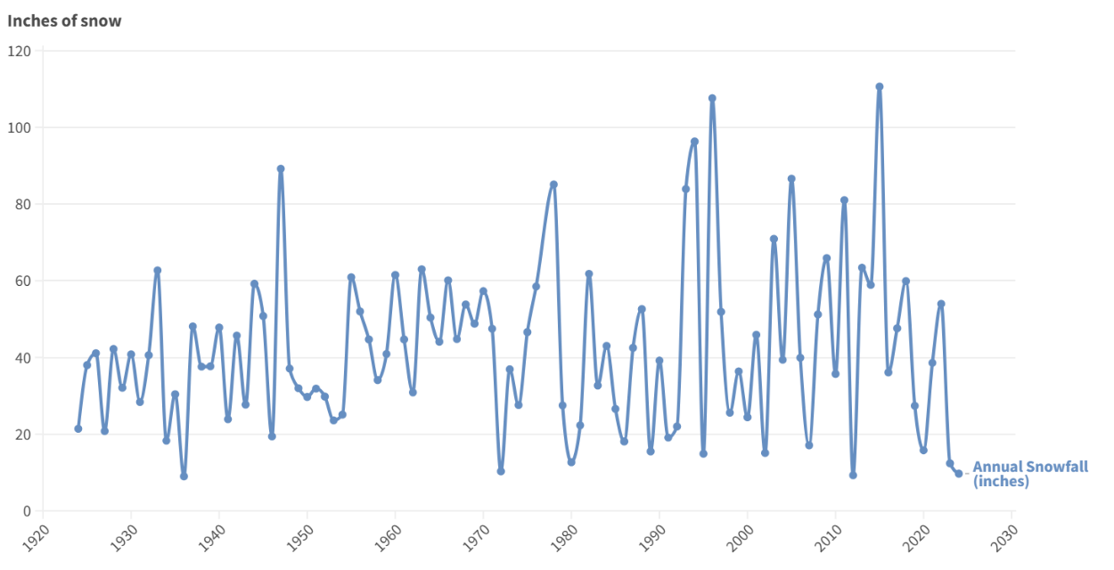
In this overview, the CPC estimates that Boston will have a “near normal” winter snowfall, but near normal does not mean nothing. The average or “normal” amount of snowfall for Boston is 7.6 inches of snow in December, 12.3 inches in January, and 12.8 inches in February; totaling to 32.7 inches in total. That’s over a 230% increase from last winter!
However, other sources predict even more than this. WBZ estimates 55-65 total inches, and AccuWeath predicts 38-44 inches. Despite the variations in these predictions, it is clear that this winter will be better than recent years.
But what causes such discrepancy from year to year, with some winters having mountains of snow while others get nothing but a few light drifts?
The most impactful factor on snowfall and the presence of strong winter storms comes from the ocean. When water temperatures in the ocean are warmer there is more moisture present in the air. When this is met with strong wind patterns from the Arctic pushing south, the moisture from the air meets with the frigid wind, allowing snow to form.
There are also a few more general climate patterns that have influence in the matter. These major patterns include: La Nina and El Nino, and the Madden-Julian Oscillation (MJO). All of these patterns lead to different changes in the atmosphere. A few of the phases of the MJO pattern would be beneficial to snow as they would cause increased Nor’easters and more frequent cold air outbreaks. The least beneficial is El Nino. This is because El NIno winters tend to be warmer because the cold Arctic air further north steers the milder air towards the east coast.
This year Bostonians have already felt freezing temperatures, which experts credit to a weak winter vortex, allowing an excess of Arctic area to spill Southward in our direction. This has been occurring since November, hinting at the possibility for a colder winter and therefore more snow in total.
No matter what happens, it is very likely that at the very least we will be seeing more snow than last year and maybe some winter wishes, like Junior Sophie Smith’s wish of “finally getting a white Christmas”, will come true!