


On Friday, January 23, Hingham High was abuzz with talk of a Monday snow day. Teachers addressed classes on schedule implications, “if” the forecasts for heavy snow were correct, while students merrily chatted about potential plans “if” their weekend was extended.
Behind all of this talk, no one spoke with absolute certainty. From past winters, we can all remember anticipatingly watching weather forecasts predict over a foot of snow, then only receiving a disappointing centimeter of coverage or a sad drizzle of rain.
So, how do meteorologists seemingly see into the future, and why are they so often wrong? Forecasting snow has three factors: moisture, lift, and cold air.
Moisture, swept by winds from the Atlantic, reaches inland until it collides with a frontal boundary. In these zones, the pressure difference between two air masses lifts water vapor skyward until it cools and condenses into clouds. Finally, temperatures in the clouds and near the surface must be below freezing for snow to form and survive the trip to the ground.
To figure this all out, meteorologists rely on current observations and computer models. Weather balloons launched twice a day measure temperature, humidity, and wind through the atmosphere. This data determines if the layers above us support snow. The dendritic growth zone, between -12 and -18 degrees Celsius, is where snowflakes grow most efficiently. If that layer is saturated with moisture, heavy snow becomes very likely.
Snow forecasting is particularly difficult because the smallest of changes can noticeably flip the outcomes. A shift of just a dozen miles in a storm’s track moves the rain-snow line dramatically. Coastal storms are also among the hardest to predict, fueled by ocean moisture and sharp temperature contrasts.
Meteorology has never been an exact science, but its shortfalls are most evident in predicting snow. For instance, if two inches of rain is predicted, but only an inch falls, scarcely anyone will notice the difference. But with snow, the same moisture difference will change a six-inch snowfall to three, so that plowing is half the work and school stays open.
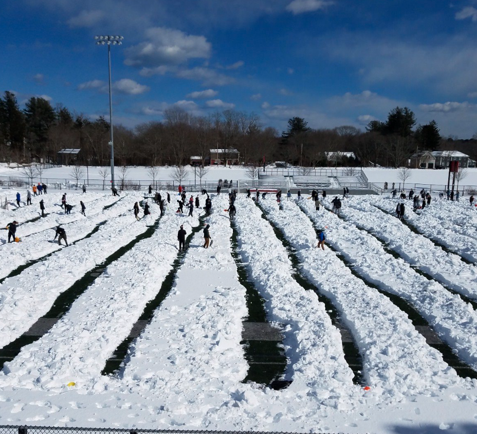
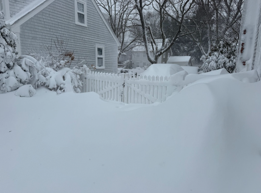
On January 25th, Hingham received a perfect storm of these conditions, dumping 19 inches of snow over two days. As the scientists expected, Monday was a snow day, but to the students’ joy, Tuesday was as well.
Sophomore Brendan Kerr elated, “The surprise snowday made my Monday night.”
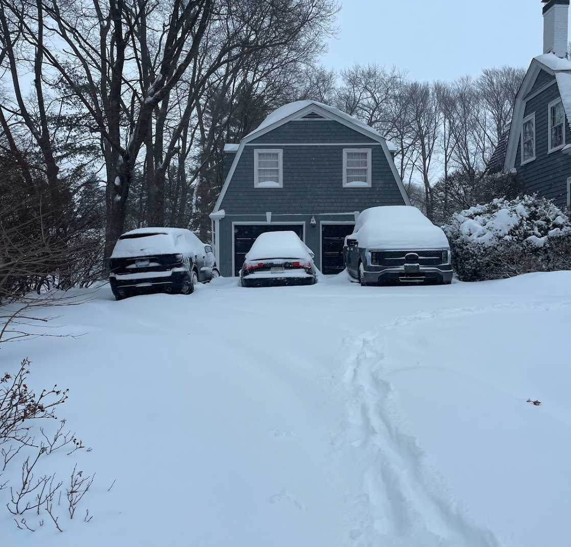
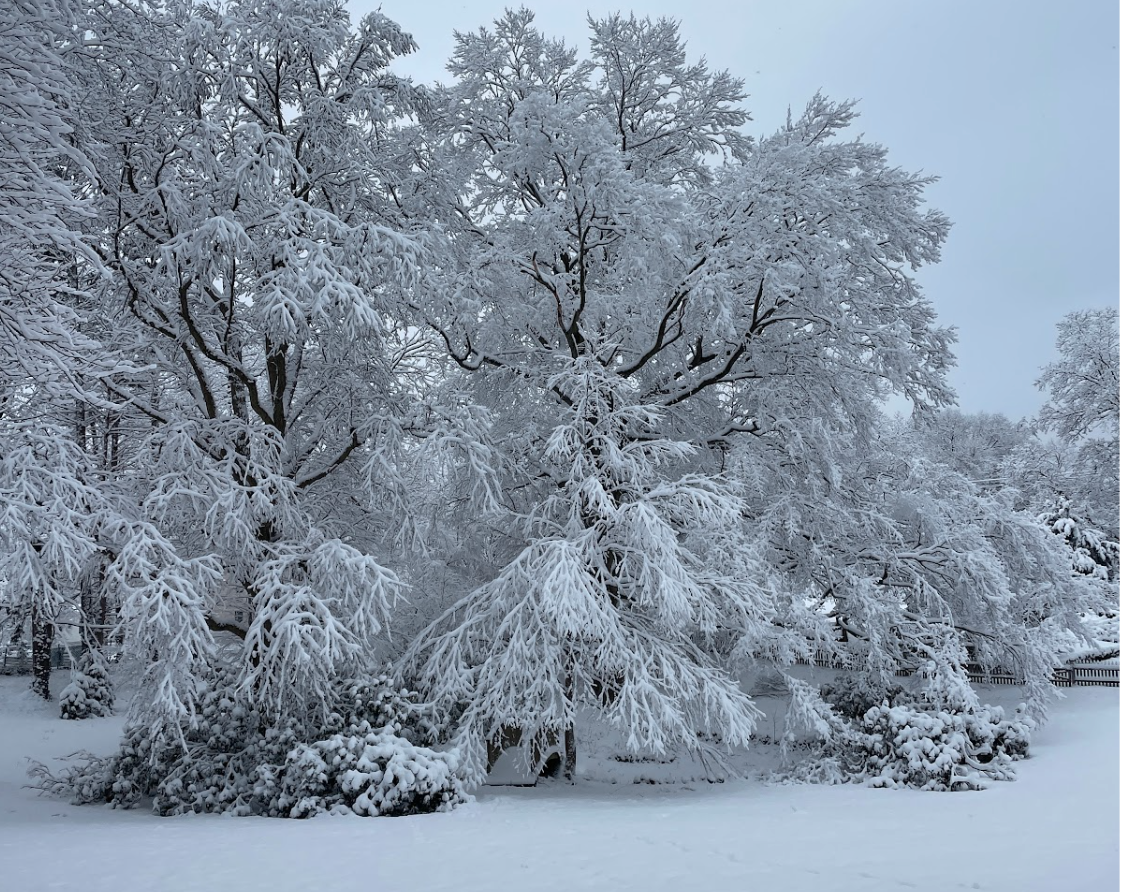
Over a month later, the fun has faded, and Hingham is still covered in snow, preserved by constant, freezing temperatures. Junior Luke Matherwiez described his morning walks to school as “cold and icy,” an experience to which far lot parkers can certainly relate.
The weather finally seems to be flipping, though it is again difficult for meteorologists to predict if the snow will melt in time for Hingham’s spring sports. In the meantime, pre-season activities have moved inside, as Hingham is drenched by meltwater and winter mix.